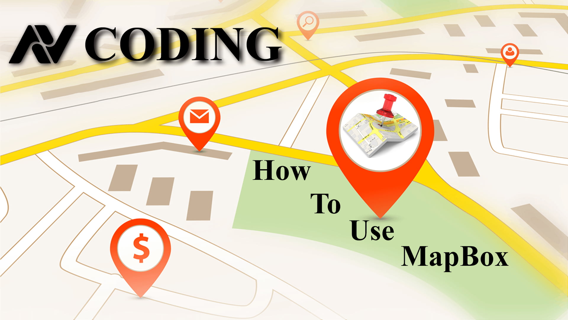
How To Use MapBox For Web | AV Coding
Hey guys welcome to AV Coding
Today we will learn how to use Mapbox in web applications for navigation and dynamic markers.
Mapbox Documentation Link :- https://docs.mapbox.com/api/
<?php
$server ="localhost";
$user="root";
$password="";
$db="sgc11";

$conn = mysqli_connect($server,$user,$password,$db);

?>
<?php
$id = $_GET['id'];
$query = 'SELECT * FROM sgc12 WHERE ID = '.$id;
$select_customers = mysqli_query($conn, $query);
while($row = mysqli_fetch_assoc($select_customers))
{
	$longitude = $row['longitude'];
	$latitude = $row['latitude'];
}
?>

<!DOCTYPE html>
<html>
<head>
	<meta charset='utf-8' />
	<title>Get driving directions from one location to another</title>
	<meta name='viewport' content='initial-scale=1,maximum-scale=1,user-scalable=no' />
	<link href="https://fonts.googleapis.com/css?family=Open+Sans" rel="stylesheet">


	<script src="https://api.mapbox.com/mapbox-gl-js/v1.9.1/mapbox-gl.js"></script>
	<link href="https://api.mapbox.com/mapbox-gl-js/v1.9.1/mapbox-gl.css" rel="stylesheet" />
	<style>
		body { margin:0; padding:0; }
		#map { position:absolute; top:0; bottom:0; width:100%; height: 100%}
	</style>
</head>
<body>
	<style>
		#instructions {
			position:absolute;
			height: 100px;
			margin:20px;
			width: 25%;
			top:0;
			bottom:0;
			padding: 20px;
			background-color: rgba(255,255,255,0.9);
			overflow-y: scroll;
			font-family: sans-serif;
		}
		.marker {
			background-image: url('./marker.png');
			background-size: cover;
			width: 50px;
			height: 50px;
			border-radius: 50%;
			cursor: pointer;
		}

	</style>

	<!--  the map -->
	<div id='map'></div>
	<!-- left side instructions -->
	<div id='instructions'>
		<div id="calculated-line"></div>
	</div>


	<script>
		mapboxgl.accessToken = 'pk.eyJ1IjoiZmFraHIiLCJhIjoiY2pseXc0djE0MHBibzN2b2h4MzVoZjk4aSJ9.ImbyLtfsfSsR_yyBluR8yQ';
		var instructions = document.getElementById('instructions');

		var map = new mapboxgl.Map({
        container: 'map', // container id
        style: 'mapbox://styles/mapbox/streets-v9', //hosted style id
        center: [<?php echo $longitude; ?>, <?php echo $latitude; ?>], // starting position
        zoom: 15, // starting zoom
        minZoom: 11 // keep it local
    });


	var position = navigator.geolocation.watchPosition(updateRoute);


    // use the coordinates you just drew to make your directions request
    function updateRoute(position) {
    	map.flyTo({center: [position.coords.longitude, position.coords.latitude],essential: true});
    	var geojson = {
    		type: 'FeatureCollection',
    		features: [{
    			type: 'Feature',
    			geometry: {
    				type: 'Point',
    				coordinates: [position.coords.longitude, position.coords.latitude]
    			}
    		}]
    	};

          // create a HTML element for each feature
          var el = document.createElement('div');
          el.className = 'marker';

          // make a marker for each feature and add to the map
          new mapboxgl.Marker(el)
          .setLngLat(geojson.features[0].geometry.coordinates)
          .addTo(map);

        removeRoute(); // overwrite any existing layers
        var newCoords = position.coords.longitude+","+position.coords.latitude+";<?php echo $longitude.','.$latitude; ?>";
        getMatch(newCoords);
    }

    // remove the layer if it exists
    function removeRoute () {
    	if (map.getSource('route')) {
    		map.removeLayer('route');
    		map.removeSource('route');
    		instructions.innerHTML = '';
    	} else  {
    		return;
    	}
    }

    // make a directions request
    function getMatch(e) {
    	var url = 'https://api.mapbox.com/directions/v5/mapbox/driving/'+e+'?geometries=geojson&steps=true&access_token='+ mapboxgl.accessToken;
    	var req = new XMLHttpRequest();
    	req.responseType = 'json';
    	req.open('GET', url, true);
    	req.onload  = function() {
    		var jsonResponse = req.response;
    		var distance = jsonResponse.routes[0].distance*0.001;
    		var duration = jsonResponse.routes[0].duration/60;
    		var steps = jsonResponse.routes[0].legs[0].steps;
    		var coords = jsonResponse.routes[0].geometry;


            // get route directions on load map
            steps.forEach(function(step){
            	instructions.insertAdjacentHTML('beforeend', '<p>' + step.maneuver.instruction + '</p>');
            });
            // get distance and duration
            instructions.insertAdjacentHTML('beforeend', '<p>' +  'Distance: ' + distance.toFixed(2) + ' km<br>Duration: ' + duration.toFixed(2) + ' minutes' + '</p>');

            // add the route to the map
            addRoute(coords);
           // console.log(coordinates);

       };
       req.send();
   }


    // adds the route as a layer on the map
    function addRoute (coords) {
        // check if the route is already loaded
        if (map.getSource('route')) {
        	map.removeLayer('route');
        	map.removeSource('route')
        } else{
        	map.addLayer({
        		"id": "route",
        		"type": "line",
        		"source": {
        			"type": "geojson",
        			"data": {
        				"type": "Feature",
        				"properties": {},
        				"geometry": coords
        			}
        		},

        		"layout": {
        			"line-join": "round",
        			"line-cap": "round"
        		},
        		"paint": {
        			"line-color": "#1db7dd",
        			"line-width": 4,
        			"line-opacity": 1
        		}
        	});
        };
    }


</script>

</body>
</html>
The complete code is explained in the video below and the source code is provided below.
Hope You Liked This Blog. Share, Comment, Subscribe And Press The Bell Icon In The Bottom Right Side For More Code Feeds.
0 Comments